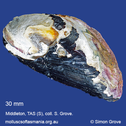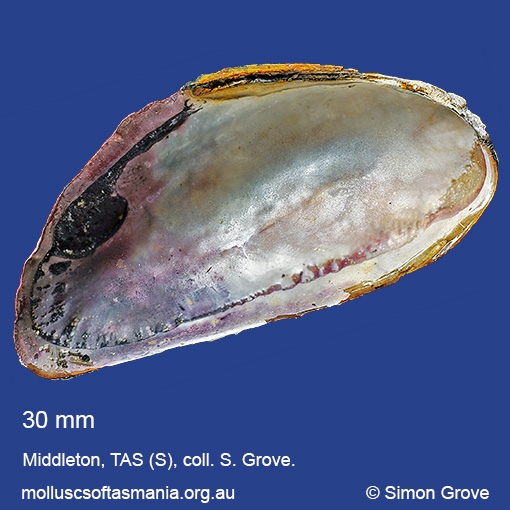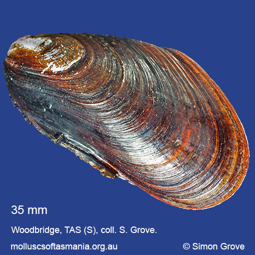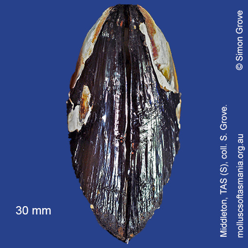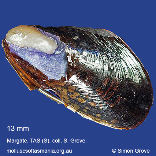
Mytilidae: Xenostrobus securis (Lamarck, 1819) (‘axe-head mussel’)
Synonym(s): securis Lamarck, 1819 vexillum Reeve, 1857 confusus Angas, 1871 fluviatilis Hutton, 1878.
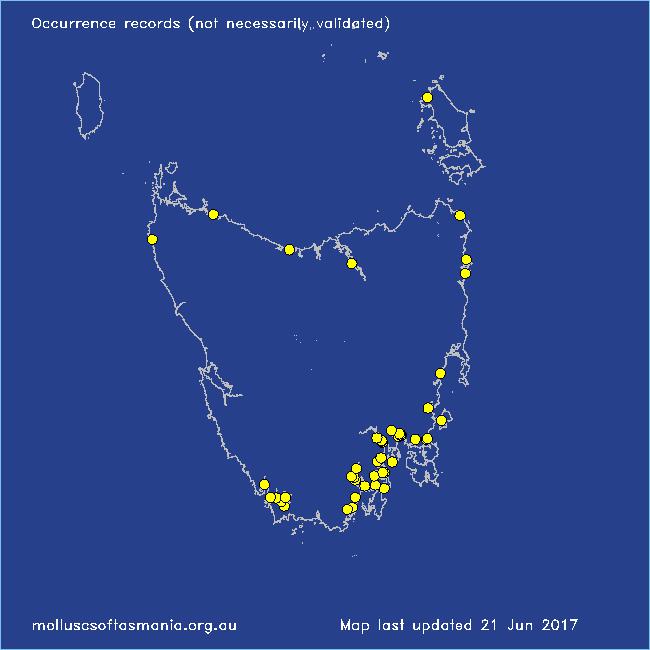
Typical shell-length 38 mm. Shell typically blue-black and often worn to white towards the umbones. Lives intertidally amongst seaweed and seagrass in estuarine and other environments with freshwater influence. Native. Occurs in southeastern and southwestern Australia (QLD, NSW, TAS, VIC, SA and WA); also New Zealand, Japan and the Mediterranean. In Tasmanian waters, this is a widespread species; locally common in the S; rarer elsewhere.
Classification
Class: Bivalvia
Subclass: Pteriomorphia
Order: Mytiloida
Superfamily: Mytiloidea
Family: Cerithiopsidae
Genus: Xenostrobus
Localities for Xenostrobus securis
Arthur River (unlocalised)
Bathurst Channel: Balmoral Beach
Bathurst Channel: Schooner Cove
Bathurst Harbour
Bathurst Harbour: Claytons Corner
Binalong Bay: Grants Lagoon
Blackman Bay: Porpoise Hole
Bruny Island (unlocalised)
Davey River: Carvers Point
Derwent Estuary: Selfs Point
Dianas Basin
E coast of Tasmania (unlocalised)
Flinders Island (unlocalised)
Forth River: mouth
Franklin: foreshore
Glenorchy: Cornelian Bay
Glenorchy: Montrose Bay
Hobart: Queen”s Domain foreshore
Huon Estuary (unlocalised)
Ida Bay (unlocalised)
Margate: Dru Point & Nierinna Creek mouth
Margate foreshore
Maria Island: Oyster Bay
Marion Bay: Bream Creek foreshore
Melaleuca Inlet
Middleton: foreshore
Midway Point (unlocalised)
North Bruny Island: Barnes Bay
North Bruny Island: Quarantine Bay
Orford: Prosser River: mouth
Petcheys Bay
Port Esperance: Hawkers Green
Port Huon: Hospital Bay
Port Latta: Cowrie Point
Randalls Bay
Richmond: Coal River estuary
Sorell
Sorell: Oaks Point
Sorell: Orielton Lagoon
South Arm Neck: northern side
South East coast of Tasmania (unlocalised)
Southport
Stumpys Bay (unlocalised)
Tamar River: Gravelly Beach
Tasmania (unlocalised)
Wattle Grove: foreshore
Woodbridge: foreshore & Birchs Point
